
Lake Tekapo to Christchurch Drive: Distance, Time & Best Stops
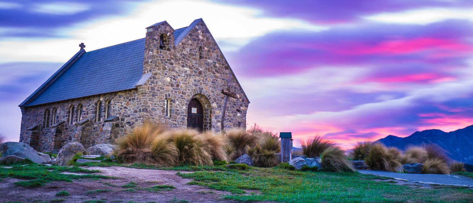
The drive from Lake Tekapo back to Christchurch is the return leg of the South Island’s most popular inland route. You’ll leave the turquoise lake and the Church of the Good Shepherd, drop out of the Mackenzie Basin through Fairlie and Geraldine, and cross the Canterbury Plains to the coast. Here’s the distance, drive time, best stops, and practical tips for the journey back.
Quick facts
Distance
227 km (approx)
Driving time
3 hours (approx)
Best time to drive
Year-round. Leave Tekapo with enough daylight in winter, when snow and ice can affect the Mackenzie; check conditions.
Road notes
Sealed highway. SH8/SH79 out of the Mackenzie through Fairlie and Geraldine, then SH1 across the Canterbury Plains to the coast. No mountain pass.
Times vary with stops, weather and roadworks.
Route map
Follow the route from Lake Tekapo to Christchurch. Stops are numbered on the map.
Route stops:
Map data © Mapbox
Best stops along the way
Lake Tekapo
Start point. Fuel up and grab a coffee before leaving; options are limited until Fairlie.
- Best for: Fuel
- Best for: Coffee
- Best for: Last lake views
Fairlie
First town off the highway, famous for its bakery pies. Fuel and toilets.
- Best for: Pies
- Best for: Fuel
- Best for: Short stop
Geraldine
Handy halfway stop with cafés, shops, and public facilities.
- Best for: Coffee break
- Best for: Toilets
- Best for: Snacks
Rakaia
The long Rakaia River bridge marks the run across the plains into Christchurch; salmon country.
- Best for: Photos
- Best for: Leg stretch
Christchurch
Journey’s end. Return your car, catch a flight, or continue north or to the coast.
- Best for: Arrival
- Best for: Airport
- Best for: Accommodation
Scenic highlights
- • Last views of Lake Tekapo and the Mackenzie Basin
- • Fairlie’s famous bakery and small-town Canterbury
- • Geraldine cafés and shops at the halfway point
- • Braided rivers and the Canterbury Plains into Christchurch
Driving tips
- • Fill up in Tekapo or Fairlie; fuel is limited on the Mackenzie side. Times vary with stops, weather and roadworks.
- • Leave with enough daylight in winter — the Mackenzie can be icy early and late in the day.
- • Allow around 3 hours plus stops; Geraldine is the natural halfway break.
- • Flying out? Add a buffer for rental drop-off and Christchurch traffic.
Where to stay / camp
Recommended vehicle
A compact car is easy to drive and park on this route and saves fuel. An SUV gives extra space and confidence on winding or higher-altitude sections. A campervan suits if you’re camping but is larger to manoeuvre. For a balance of size, fuel efficiency, and ease of parking, especially at popular stops, a compact 4WD like the Jimny works well: easy to park, fuel efficient, and capable on sealed and gravel public roads. Gravel roads are common in the South Island; drive to conditions. Off-road driving is not allowed on rental vehicles.
See our vehicles and camping setup. Compare options in our campervan vs rooftop tent guide.
Frequently asked questions
- How long is the drive from Lake Tekapo to Christchurch?
- Approximately 227 km and 3 hours driving time — the same road as the forward leg. Allow extra for rest breaks and photo stops. Times vary with weather and roadworks.
- What are the best stops on the way back?
- Fairlie for a bakery pie and fuel, Geraldine for coffee and facilities at the halfway point, and the Rakaia River bridge as you reach the plains.
- Is the road difficult?
- No. The route is sealed highway (SH8/SH79 then SH1) with some winding sections leaving the Mackenzie but no mountain pass. Suitable for all vehicles. Off-road driving is not permitted on rental vehicles.
- How early should I leave for a Christchurch flight?
- Allow the full 3 hours plus a buffer for stops, rental drop-off and city traffic. Leaving Tekapo mid-morning comfortably makes an afternoon flight.
- Is winter driving safe?
- Generally yes. Snow and ice can affect the Mackenzie near Tekapo in winter. Check NZTA for road conditions and carry chains if required.
Plan Your South Island Road Trip
Explore scenic drives, travel guides, and camping spots across the South Island.
South Island Road Trip Planner →
Quick links to itineraries, drives, and guides:
Scenic Drives
Destination Travel Guides
Ready to drive it?
Check availability and book your vehicle for the Lake Tekapo to Christchurch drive.
Check Availability